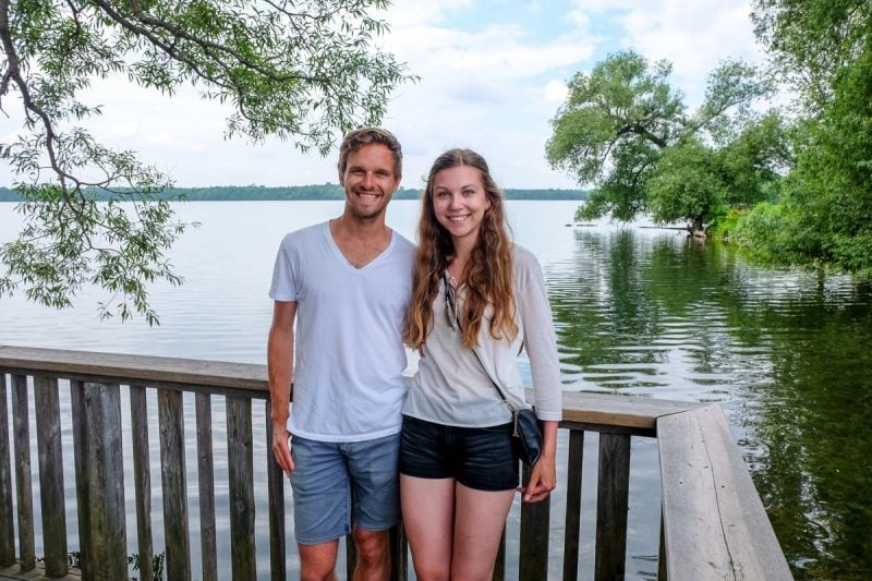
Here’s Our Experience at Forks of the Credit Provincial Park!
For a great day away from the city with varied walking trails, Forks of the Credit Provincial Park is a nice option. Located in Caledon, this smaller provincial park boasts many trails, a rich history, and even a waterfall that you can explore.
The proximity to the GTA and availability in any season makes visiting Forks of the Credit one of the best places to explore in Ontario. We explored Forks of the Credit in the summer and – despite the popularity of the park – had a nice time with minimal crowds.
That said, Forks of the Credit can be very busy at many times of the year – but especially in the summertime. However, with the right planning and know-how, you can still have an enjoyable time day-visiting.
So, this helpful guide is packed with our experience (and our full Forks of the Credit hiking route), frequently asked questions like how to get to the Forks of the Credit waterfalls (Cataract Falls), and everything else you need to know to plan your next visit!
Land Acknowledgement: Caledon – in the Region of Peel – is part of the Treaty Lands and Territory of the Mississaugas of the Credit and their descendants: Mississaugas of the Credit First Nation.
Table of Contents
About Forks of the Credit Provincial Park
Sharing a name with the mighty Credit River which flows through this region, Forks of the Credit was established in 1985 as a Provincial Park.
The park is located in Caledon and sits as part of the Niagara Escarpment biosphere. It’s known for several features like its lake, river, gorge, and walking trails.
The Park has the unique distinction of having local trails, the Bruce Trail, and the Trans Canada Trail all cutting through the Park. Oh, and there’s also a beautiful waterfall and rich history to explore!
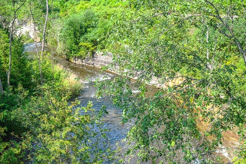
The area by the river is of particular historical importance. Not only did an old railway line have a small train station here through the 1900s, but the river was crucial to the development of a local sawmill, two grist mills, and a hydroelectric company (Cataract Electric Company) and its dam.
Some of the ruins of these structures still stand today in the park on Ruins Trail. As for natural resources, the sandstone was quarried and used across Ontario.
Queen’s Park and the original Toronto City Hall (both in Toronto) are partially made from this uniquely coloured stone!
Speaking of natural beauty, the Park is also part of Ontario’s Greenbelt – just like Thornton Bales Conservation Area. So, it is especially important to enjoy and also preserve this natural area!
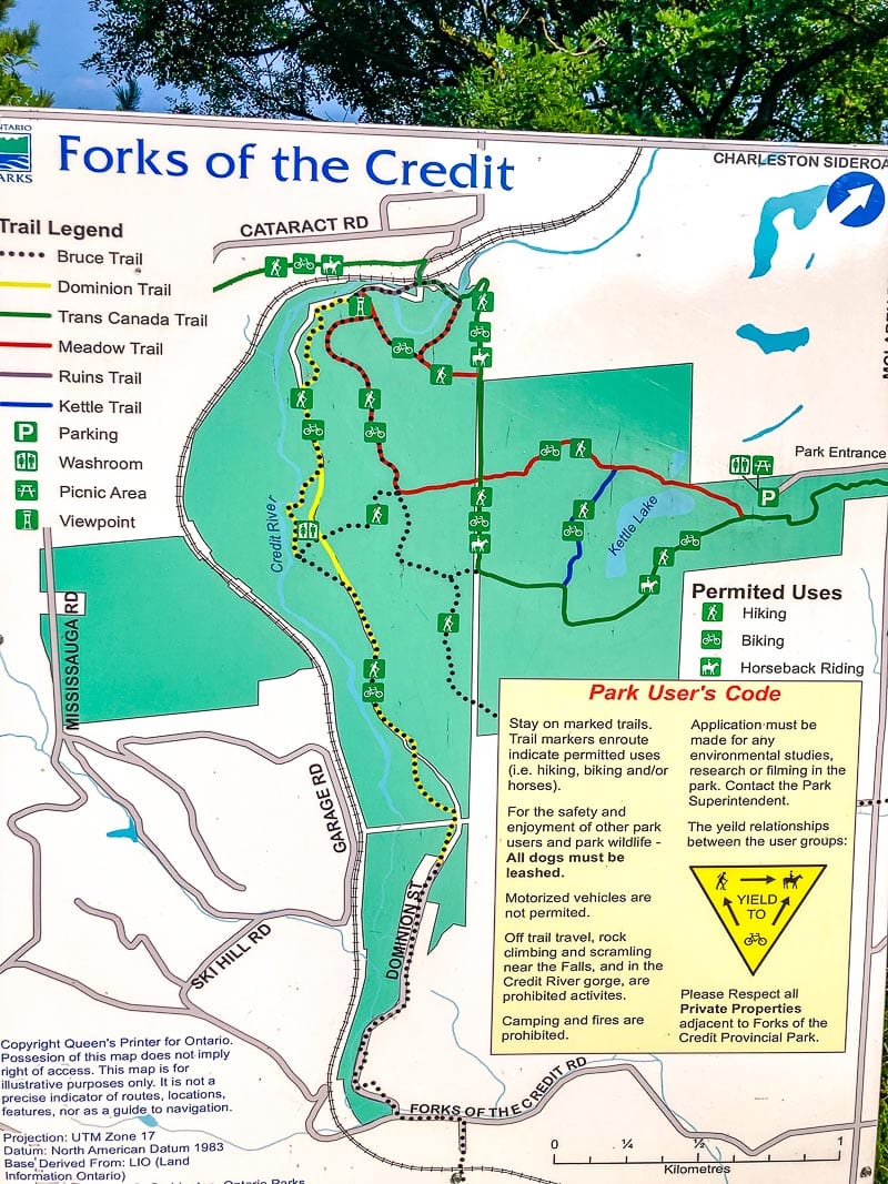
You can check out a Forks of the Credit Provincial Park trail map to get familiar with the park.
Subscribe to Ontario Away!
Receive updates & our monthly Ontario Events Calendar straight to your inbox.
You can unsubscribe anytime. No spam.
How to Get to Forks of the Credit Provincial Park
Depending on where you are coming from, there are a few different ways to get to Forks of the Credit. One thing is for certain: you will need a car to get to Caledon and the Park.
That said, Forks of the Credit makes a great day trip from Toronto – and the Caledon area makes for a nice weekend getaway in Ontario!
Here are the Forks of the Credit directions from a few different places around Ontario:
From Toronto to Forks of the Credit Provincial Park
From the heart of downtown Toronto, it takes just over an hour to drive to the Park (without traffic accounted for). From many areas of the GTA, the fastest, most direct way to get to Forks of the Credit is to head for Mississauga/Brampton.
Once here (you might have taken the 401), take the exit for Highway 410 north – it’ll turn into Highway 10 as you enter the Caledon region. From Highway 10, take a left onto Forks of the Credit Road. Continue on this road until you take a right onto McLaren Road.
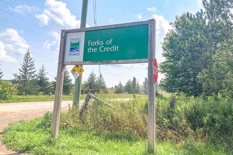
The entrance to the park will be on the left if you are coming from the southeast. Look for the sign above at the driveway.
Forks of the Credit Provincial Park Address: 17760 McLaren Rd, Caledon, ON L7K 2H8
You could also hop on Airport Road to get out of the city and into the region. Then turn left on Charleston Sideroad and cross Highway 10 at the intersection of Caledon Village.
Turn left onto McLaren Road and drive until the park entrance is on the right.
From Southern Ontario Cities to Forks of the Credit
For places in southern Ontario like Guelph or Cambridge, the park is also not far to get to. It’s the same or shorter driving time from these two cities because you don’t have to deal with GTA traffic!
Just hop on Wellington Rd 124 through to Erin – it becomes Charleston Sideroad. Then turn right onto McLaren Road and the driveway sign is on the right.
Forks of the Credit Provincial Park Address: 17760 McLaren Rd, Caledon, ON L7K 2H8
From Simcoe County to Forks of the Credit
If you are coming from the north and/or east of the Park (like Barrie, Bradford, Newmarket, etc.) then get yourself to Highway 9 and run it west towards Orangeville. Run it until the end, then turn left onto Highway 10.
This will take you right into Caledon Village where you turn right onto Charleston Sideroad. Turn left onto McLaren Road and drive until the park entrance is on the right.
How to Visit Forks of the Credit Provincial Park
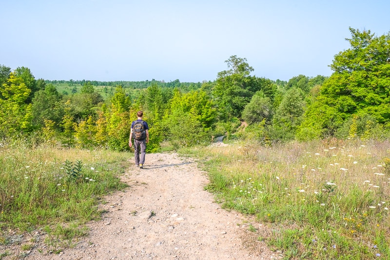
For those of you thinking about visiting Forks of the Credit for the first time, this section is all about how to visit.
It covers day-use permits (and what that means), parking, and fees for Forks of the Credit Provincial Park.
Forks of the Credit Day-Use
Forks of the Credit is a day-use park only. There are no overnight camping sites to reserve nor can you camp overnight at all.
You can enjoy a short or long hike around the area and have lunch but then you head home at the day’s end.
For day-use at Forks of the Credit, it’s typical to reserve a Daily Vehicle Permit (DVP) in advance to ensure you have a spot in the park that day (and a parking spot in one of the two main parking lots).
This is because Ontario Parks had a new initiative in 2021 to buy DVPs in advance online at almost 60 of their most popular Provincial Parks (Forks included). Having one of these DVPs guaranteed you parking and park admission for the day you booked.
Forks of the Credit is a smaller park with a smaller parking area. Its proximity to the GTA makes it a sought-after place to check out any time of the year.
So, it’s highly recommended and basically mandatory that you book a DVP in advance to avoid disappointment.
If you don’t book a DVP in advance and you drive to Forks of the Credit on a weekend (especially a summer weekend), there is a very good chance the Park will reach capacity and you will not get in.
When we visited in the summer, we went for 8:30 am on a Monday in August. It was a great time to visit and was only getting busy as we were leaving around lunch.
We just went online a few days in advance and reserved our DVP. We then printed it out at home and then placed it on the car dashboard so the barcode was scannable through the windshield!
Yes. Even on the “free day-pass” days, you still needed to go online and reserve for free (up to 5 days in advance) your Daily Vehicle Pass to ensure you had a spot when you visited.
Forks of the Credit Fees
Since Forks of the Credit is day-use only, you can check the official source for Ontario Parks Fees for day-use.
These guidelines are great but the best way to gauge the costs for your specific visit is to head to Ontario Parks Reservation System.
Here, you can choose the “Day-Use” tab, enter your dates, and pick “Forks of the Credit” to see the exact costs for your trip.
We were able to book our DVP for a half-day (four hours) permit but a full-day permit was also available for a higher fee. This will answer your question about how much it costs to get into Forks of the Credit.
Below are frequently asked questions about fees and visiting Forks of the Credit Provincial Park:
No. It was during the pandemic – for a few months in 2021 some Ontario Parks were free for day-use between Monday and Thursday only. This included their most popular parks (Sandbanks, Forks of the Credit, Arrowhead, Mono Cliffs, etc.) This initiative was not continued.
Yes, you will have to pay to enter Forks of the Credit. Luckily, your day-use fees (that include parking) are not too expensive. You can read the Ontario Parks Fees for day-use page.
Forks of the Credit Parking
As we mentioned above, parking at Forks of the Credit is included in your DVP (which you must book online in advance) before even getting in the car.
As of August 2023, there are now automatic gates to enter the parking lot. To enter, you must have the digital or printed confirmation/permit ready to scan (there’s a barcode) at the gate. The barcode is located on the first page of the emailed confirmation you get when you reserve your DVP.
There are two main parking areas – one gravel one (shown above) and a smaller, grass field for “overflow” parking. You need to be in one of these two parking lots.
The trailhead is at the edge of the parking lot, as are some picnic tables in a grassy area nearby.
It’s important not to park on the long laneway heading into the parking lots because this will impede the flow of traffic into and out of the Park.
It’s also worth mentioning that there is no Forks of the Credit road parking. You will see “no parking” signs indicating that parking on McLaren Road is not allowed.
You run the risk of getting fined and your car being towed… and your car is likely to get in the way of other visitors.
The fee to park at Forks of the Credit Provincial Park is included in your day-use pass fee. These fees vary depending on how long you visit the Park. You can check out the day-use fees for Ontario Parks.
Overall, it’s important to follow parking signage. But many of the issues around parking relate to visitors coming without a daily vehicle permit.
The Park can only accommodate so many cars and so many visitors – especially if there are restrictions in place.
These numbers are regulated by the sale of permits – it allows staff to monitor visitor numbers for the safety and enjoyment of everyone.
If there’s no real spot for your group and your vehicle, head for another hike in the area. See the “Other Things to Know When Visiting” section for more hiking/trail ideas nearby!
Hiking at Forks of the Credit Provincial Park
The most popular reason to visit Forks of the Credit is to head out on a nice hike. As a result, a common question is “how long is the Forks of the Credit hike”?. The answer is: As long or as short as you want. There is no specific hike called “Forks of the Credit Hike/Trail”.
That said, you can piece together whatever distance and difficulty you like for your visit. For this, you’ll need knowledge of the trail system.
Forks of the Credit Trails
As for the trails, you can get an overview with this Forks of the Credit Trail map. Four main trails are unique to the Park and two external trails cut through the Park at some point or another.
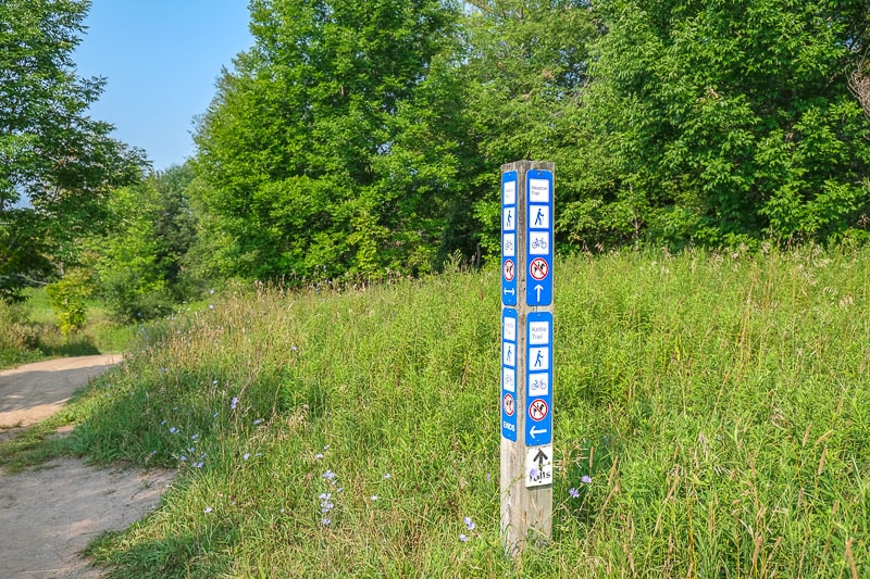
The good news is that the trails are well marked in the Park so navigating isn’t too difficult. As we mentioned, each trail has a different length, difficulty, and purpose.
The most important thing to know is that there are no true “loop” trails. You cannot start on a coloured trail, keep walking in one direction, and return to the parking lot on that same trail.
You will have to turn around or connect with another trail to complete a hike. So, having some knowledge of the trails will be very helpful!
- Meadow Trail – One of the main trails from the parking lot deep into the park. Kind of like a roller coater of ups and downs. Intersects with the Bruce Trail and Trans Canada Trail after passing Kettle Lake. Use it to connect to Dominion (via Bruce Trail steps) to get to the Falls. The Meadow Trail is roughly 2-3 kilometres in length in one direction. You’d have to retrace your steps or loop back to the parking lot with the help of another trail. That’s why a trail map is handy.
- Dominion Trail – A long, undulating trail that runs roughly through in the Credit gorge. Becomes Dominion Street to leave the Park in the south. Is currently (early 2024) the only way to get to see Cataract Falls.
- Kettle Trail – A short, off-shoot trail along a ridge top after Kettle Lake. Connects to the Trans Canada Trail to continue into the Park or to return to the parking lot.
- Ruins Trail – A short trail that connects two pieces of the Meadow Trail (it makes a small loop) down in the gorge at the northwest (top) of the park. It links up with the Trans Canada Trail and lets you cross the two bridges over the Credit River in this area.
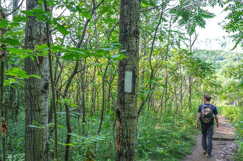
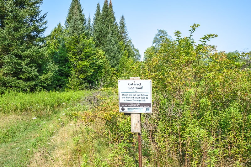
- Bruce Trail – Part of the famous Bruce Trail (900 kilometres from Tobermory to Niagara across southern Ontario) snakes through the Park. There are also Bruce Trail off-shoot trails like Cataract Trail (which essentially follows the Dominion Trail and takes you to Cataract Falls). Remember: The Bruce Trail is marked with rectangles painted on trees, poles, bridges, etc. They are called “blazes”. White blazes indicate the main Bruce Trail, while Blue indicates a side trail.
- Trans Canada Trail – A small part of Canada’s Great Trail runs right through the Park. It enters across a rail bridge near the Credit River and forms the other half of the loop around Kettle Lake (Meadow Trail is the other half) before leaving the Park by the parking lot.
Cataract Falls + Other Features
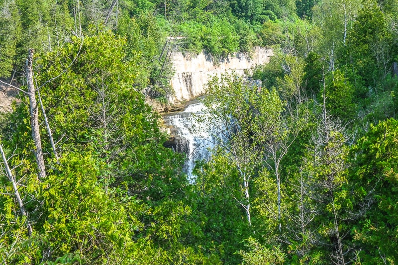
A popular attraction to hike to is the Forks of the Credit waterfall – also known as Cataract Falls. For those wondering how to get to Cataract Falls, here is how you do it!
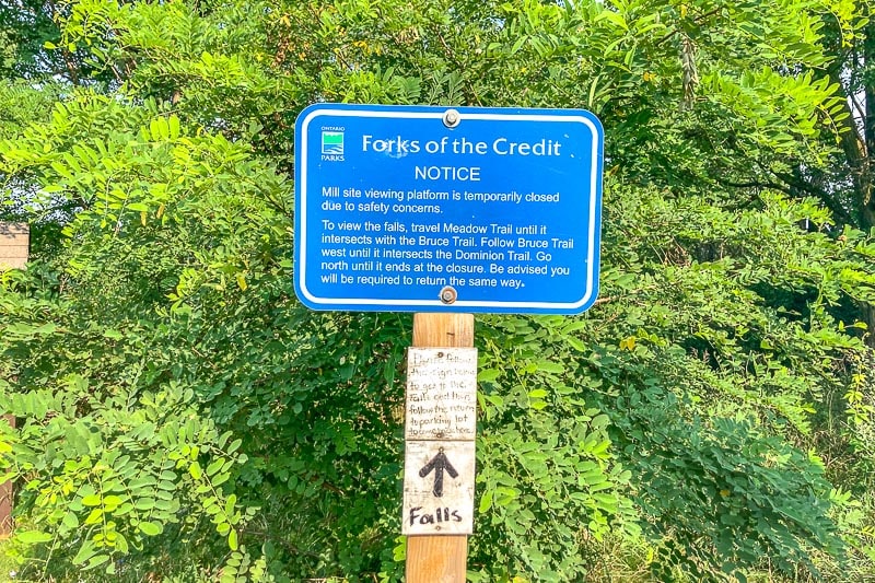
(As this was written when part of the Dominion Trail was closed due to safety concerns/erosion, this was the only way to see the Cataract Falls. This might change in the future if they rebuild the viewing point).
- From the parking lot, follow Meadow Trail until it intersects with the Bruce Trail.
- Then, follow the Bruce Trail down the forest steps west until it intersects with the Dominion Trail.
- Head north on Dominion Trail until you reach the orange fencing and see Cataract Falls. You will have to come back the way you came.
There were little white signs (see the photo below) on various wooden poles. They look like they were put there by a hiker and not the Park. In any case, they also lead the way fairly well but don’t count on them being there and readable when you visit!
When you get to the Falls, stay on the marked trails and don’t cross any orange safety fencing. It’s in place for a reason on Dominion Trail near the falls to keep you safe.
You should read the sign at the end of the trail though (shown below) because it describes the history of the area and it’s actually pretty neat.
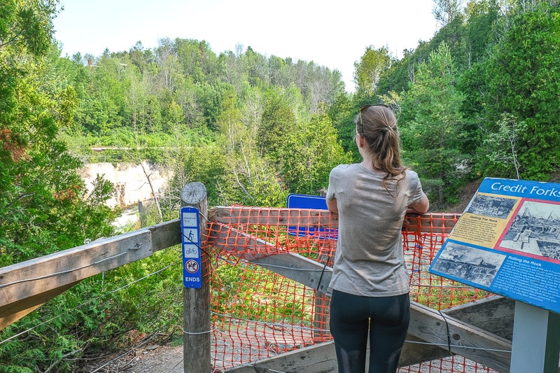
There are a few other trail features you should explore like the bridges (all three), various sets of stairs, the Credit River, and Kettle Lake.
We’ll show you them in our sample Forks of the Credit hike itinerary in the next section.
Our Sample Forks of the Credit Hiking Route
Since there are no perfect “loop” trails in the Park, it’s helpful to have an idea of what route you’re going to take.
You can follow along with the exact route we took when we visited. Our Forks of the Credit hiking route would be rated as moderate in difficulty.
This is because we had multiple sets of steps, hills, or stairs. It was great as a morning workout and we’re glad we left before the day’s heat got too bad!
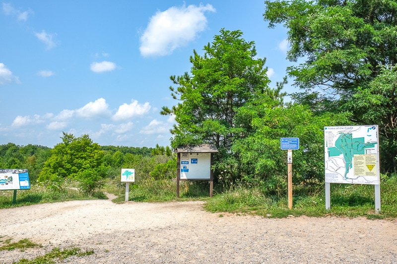
Start out at the trailhead beside the parking lot. Be sure to have a look at the trail map before you head out. Head out on the Meadow Trail towards Kettle Lake.
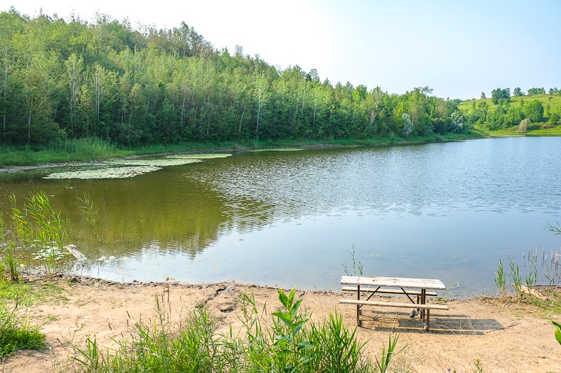
We had Kettle Lake pop up on the left. We had a short stop by the water and even saw a few turtles in the water!
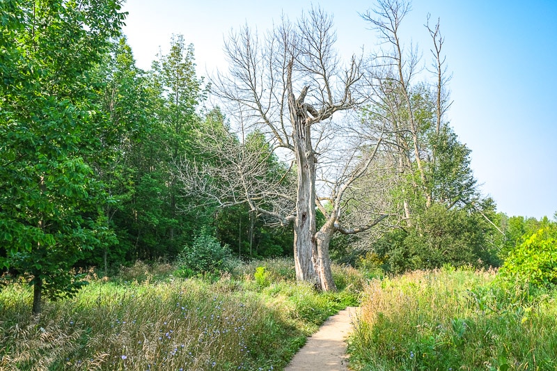
Continue walking on Meadow Trail until it crosses the long, straight grassy trail known as the Trans Canada Trail.
Slight left/straight ahead to stay on the Meadow Trail. It then becomes the main Bruce Trail (white markers) at another busy trail junction.
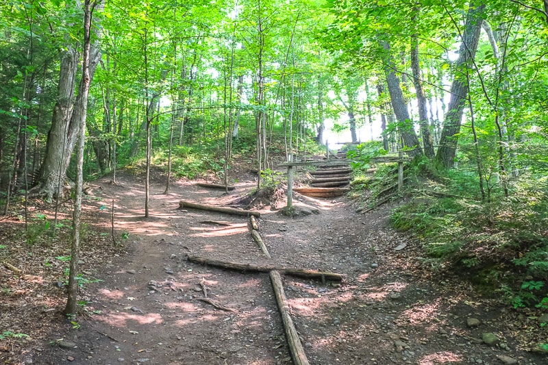
Head straight, down the large steps of the Bruce Trail in the canopied forest. This path curves in the forest. Watch your footing!
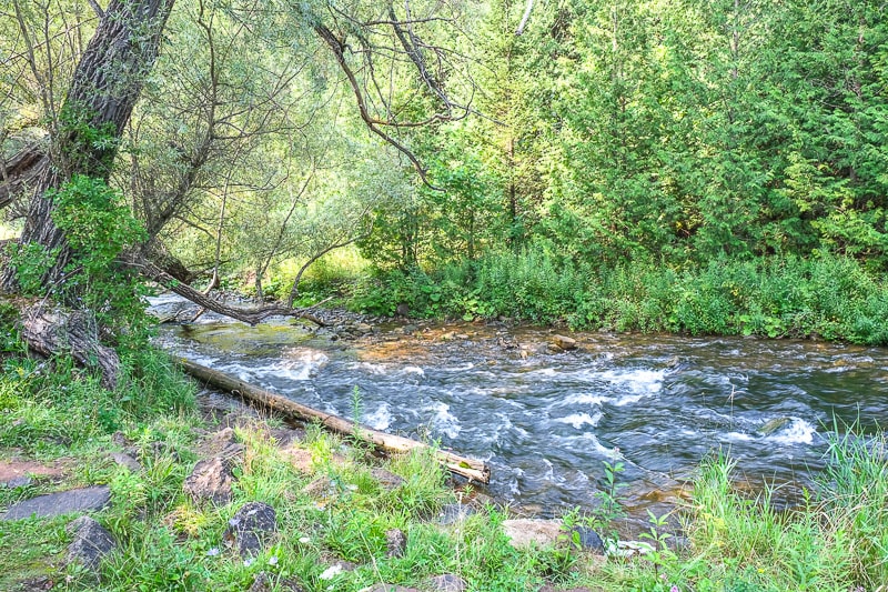
Pop out of the forest on the Bruce Trail, past the toilet building on the right, and walk straight through the field to have a stop by the beautiful Credit River.
We turned around and went back to the washroom building. Turn left to follow the Dominion Trail.
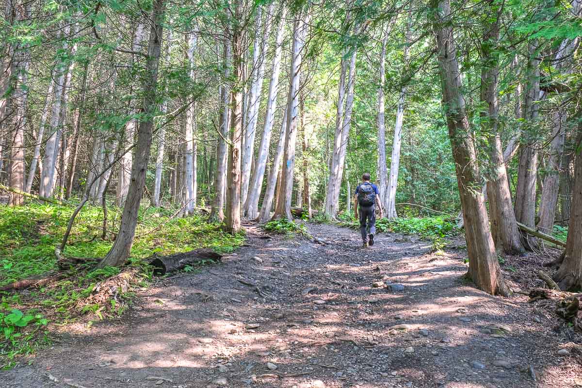
Follow the Dominion Trail (which was also the Cataract Side Trail – indicated by the single blue painted rectangle on the trees) to Cataract Falls.
This path wasn’t too long but had some ups and downs through the cedars. You’ll hear the falls the closer you get.
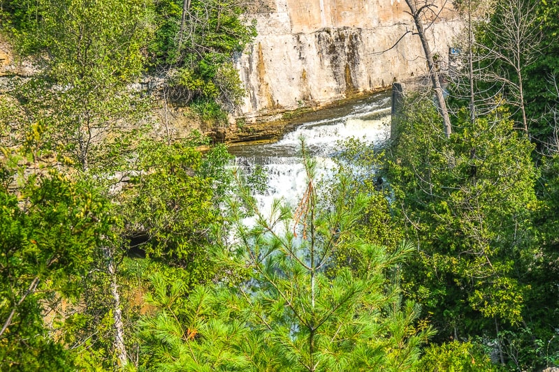
We viewed the falls as close as we could go with the safety fence blocking the way to the mill site viewing platform. We then returned the same way we came back to the washroom building.
We then went back up the Bruce Trail main trail forest stairs (near where the washrooms were) to that busy junction at the top of the gorge where the Bruce Trail met the Meadow Trail again.
Turn left. If you go straight on the Meadow Trail, you’ll cut the hike short and head for the car again (which is totally fine if that’s what you’d like!)
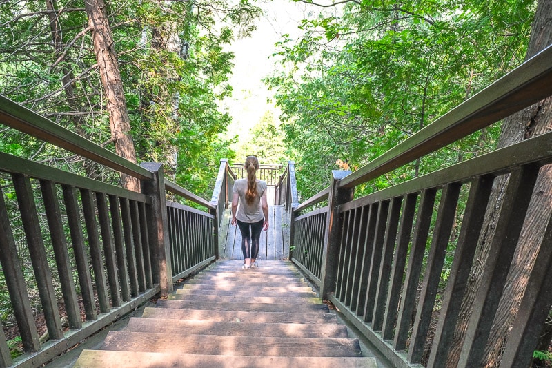
Follow this new part of Meadow Trail for a while (it was also marked blue as Bruce Trail Side Trail), then head down some large metallic steps into the gorge to the Ruins Trail.
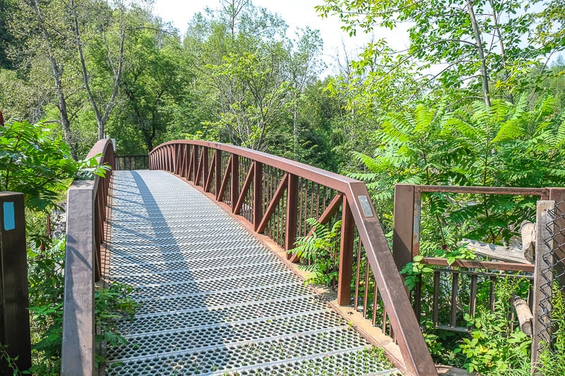
Follow the trail at the bottom of the steps along the Ruins Trail. You’ll come across a boardwalk-type walkway that leads to the first metallic bridge.
This footbridge bridge sits on the ruins of the old dam’s sluice gates. Look down river towards the mill ruins and the falls.
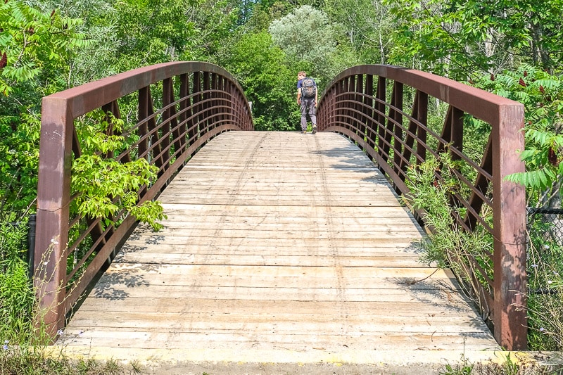
Keep walking and you’ll soon see another bridge on the left. We stopped to see this bridge that spans over the railway line.
It’s part of the Trans Canada Trail. It actually leaves/enters the park at this point and horseback riding is allowed.
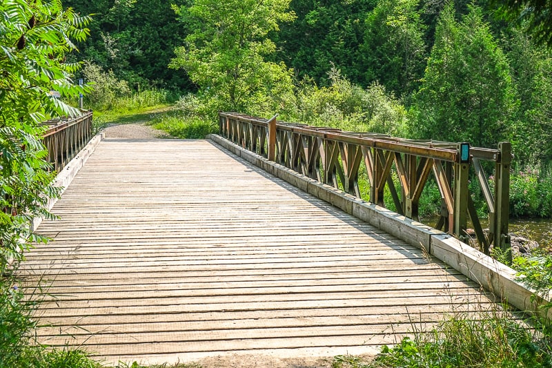
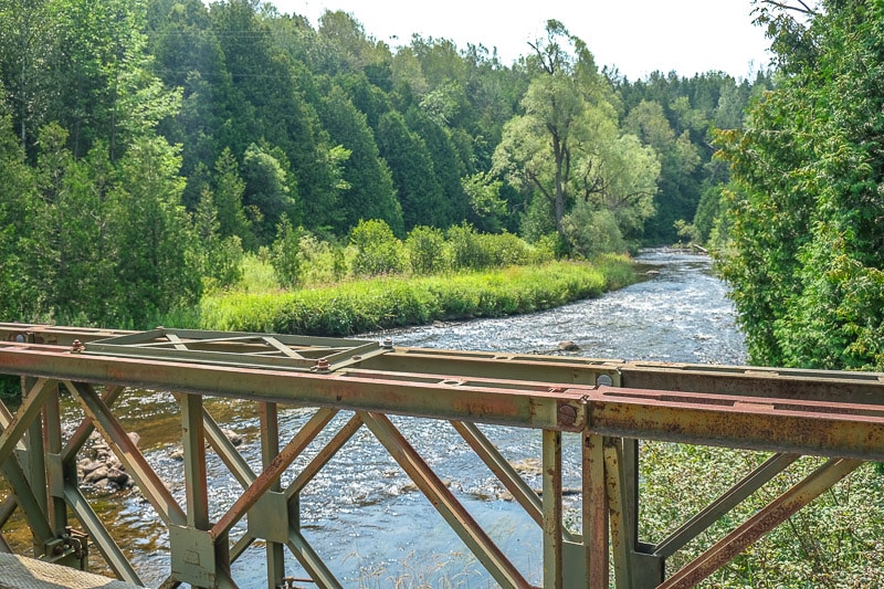
Walk a little further on the trail in the park (don’t cross the railway bridge above) and you’ll come across the final bridge – a Bailey Bridge.
This is a World War II designed bridge that was installed here over the river in 1999. Take in the views as the river snakes through the gorge.
At the end of the bridge (you can see it in the above picture), head back up the large hill on the Meadow Trail.
You can also take the Trans Canada trail to the left- they eventually lead to the same spot once you’re up the hill. This path was also only dirt and not stairs.
Continue on the Meadow Trail (turn left where it splits with itself) and it will meet the Trans Canada Trail again. Then head right on the Trans Canada Trail and through the open fields.
This then links up with another piece of Meadow Trail (you already crossed this part earlier). Turn left on Meadow Trail (the same trail that you used to come into the park), pass Kettle Lake again (but on your right), and head for the parking lot.
Overall, we liked our little hike. It was approximately 7.2 kilometres long and took us 3.5 hours with a few stops along the way.
We had a bunch of backtracking because of the trail safety closure at the Falls but we wanted to see the bridges at the northwest edge (top) of the Park.
If we visited again, we’d check out the Kettle Trail to the Trans Canada Trail on our way back to the car or take the Bruce Trail to the Trans Canada Trail to the parking lot. Both would allow us to see the other side of Kettle Lake and a bit more of the park!
Of course, there are so many routes you can take to suit your style. You can find more routes submitted by fellow hikers at All Trails.
Other Things to Do at Forks of the Credit
There are a handful of other activities to do while you’re in Forks of the Credit that do not involve strictly hiking/walking.
- Fishing – Yes, you can fish at Forks of the Credit Provincial Park. Fishing is permitted. You must follow Ontario fishing regulations AND the fish sanctuary dates (no fishing in Winter and Fall) as set by the Credit River Anglers Association.
- Biking – Biking is allowed on the trails marked with a bike symbol on the trail map. If you are on a bike, just remember you’re supposed to yield to both hikers and horses.
- Horseback Riding – Riding is permitted on the Trans Canada Trail only. Also, it’s B.Y.O. Horse.
No, swimming is not allowed at Forks of the Credit Provincial Park.
The Credit River is full of salmon and steelhead (rainbow trout). The headwaters of the river (closer to Orangeville) offers brown and speckled trout – good for fly fishing.
Visiting Forks of the Credit in Winter
For those interested in some winter activities, Forks of the Credit is open in the winter and offers popular things to do in Ontario in winter.
- Snowshoeing – Snowshoeing is permitted on all hiking trails. However, trails are not maintained and there are no rentals available so you have to bring your own snowshoes.
- Cross-Country Skiing – X-country skiing is permitted on hiking trails. However, again, there is no track set and only a few trails (like flatter parts of the Trans Canada Trail and Bruce Trail) are suitable for cross-country skiing.
As a warning, don’t venture out onto any ice you find in the Park. This includes Kettle Lake but also areas near the river. They might look pretty but there’s no way to know ice conditions.
Facilities at Forks of the Credit Provincial Park
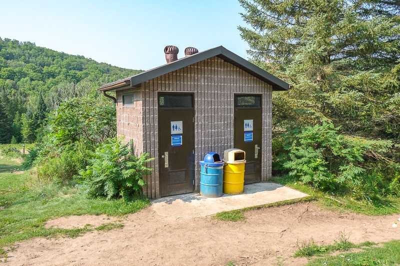
As for facilities at Forks of the Credit Provincial Park, they are few and far between.
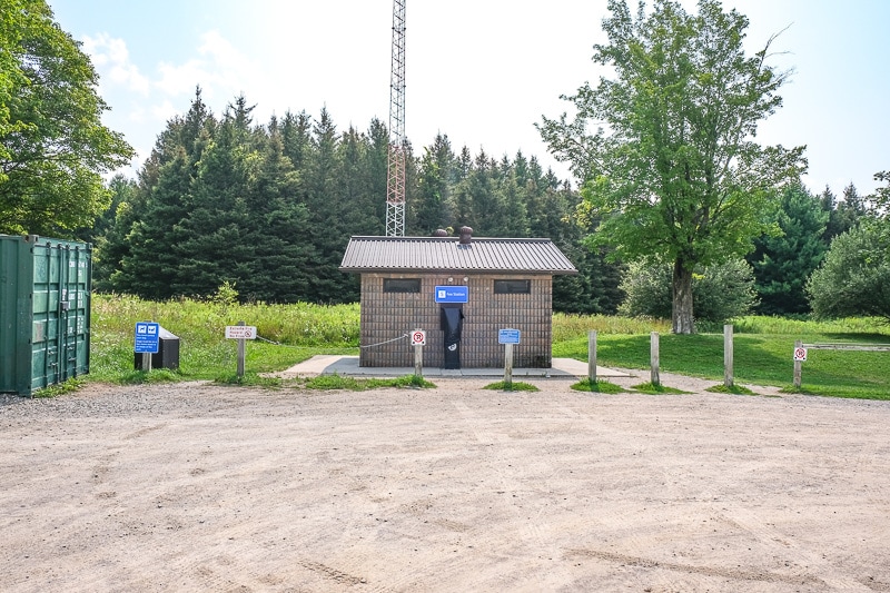
There are two washrooms buildings (called private privies): one at the main parking lot and one deep in the park (shown above) where the Bruce Trail meets Dominion Trail.
Note: These interior park washrooms are closed in the winter and open again around April.
There are some garbage/waste containers around the Park so hold your trash until you see one.
We like to practice “pack it in, pack it out” so that the waste/recycling bins don’t get overwhelmed. This is especially important for a busy park like Forks.
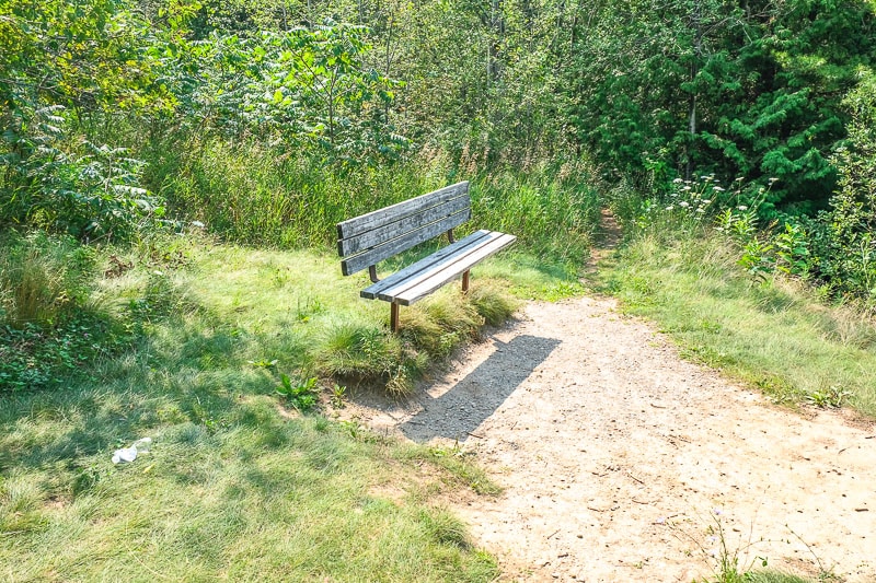
As for eating, there are a few picnic tables scattered around the Park: mostly at the entrance but also by Kettle Lake.
If you need a rest, there are benches in random places and they usually have views to take in!
Packing List for Forks of the Credit
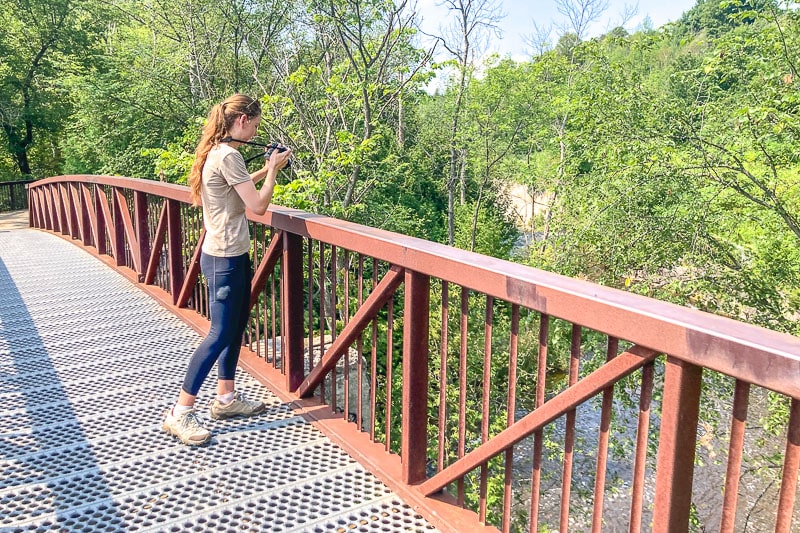
When we visited Forks of the Credit, we explored in the summer. So our packing list is going to differ slightly from if you hiked in the fall or even winter!
Our rule of thumb is to dress in layers/bring layers. This way, you can hike in a t-shirt in the summer but still have a warm sweater and/or raincoat for the fall.
This area is known for high grass and ticks, so it is best to wear good hiking pants which are long, lightweight, and loaded with pockets.
We also always hike in running shoes or our hiking shoes – not sandals. The rocks, steps, and roots are not to be messed with in Caledon! We always have our good Northface backpack as our day bag.
Here is a list of items that we had in our backpack and/or would recommend bringing:
- whistles (for wildlife/emergencies)
- snacks in sealed bag – like granola bars, trail mix, or protein bars.
- lots of drinking water (at least a full bottle per person)
- a good hat for sun coverage
- small first aid kit
- sunscreen
- sunglasses
- rain jackets (if there’s a chance of rain)
- portable charging pack for small electronics
- camera (this is optional)
- extra socks (if you get yours wet)
Additional summer items might include bug spray if you plan on being thick in the woods. This is important for Forks of the Credit, especially considering this area has ticks.
Bug spray with DEET is recommended but long pants (yes, even when it’s hot out) go a long way to protecting yourself.
Additional winter items would include bundling up in layers with a warm hat, gloves, and warm coat. Good winter boots with a tread are a must-have!
Ontario Parks post on Forks of the Credit has some other useful tips when it comes to visiting and packing.
Other Things to Know When Visiting Forks of the Credit
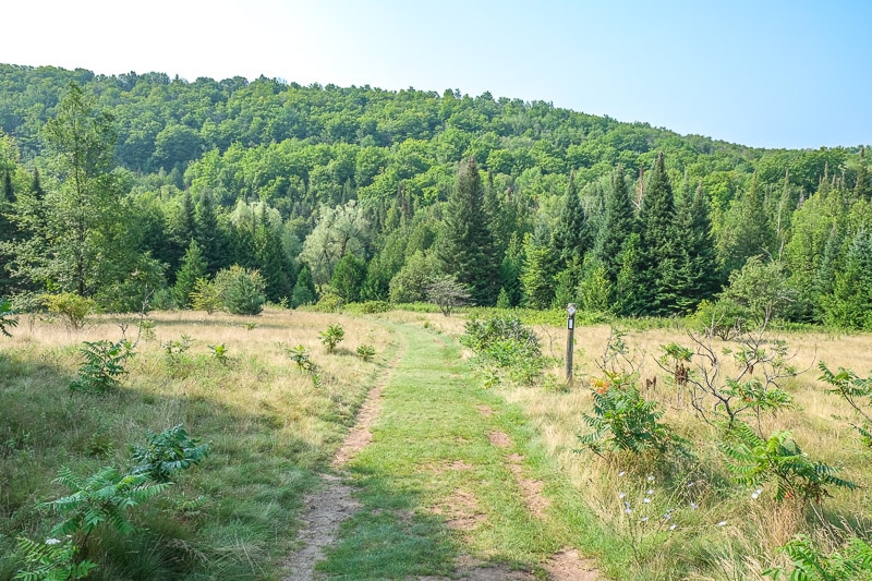
- Practice Leave No Trace principles whenever you are out in nature – even if just for a day trip. Above all, be respectful to others, leave nature alone, and pick up after yourself.
- The trail maps at the Forks of the Credit Trail are pretty accurate. You can also open the PDF map on your phone for when you are out in the park. Your visit might be short, but it’s easy to get turned around with so many varied trails cutting through the area.
- We’d suggest planning to hike another local trail altogether if Forks of the Credit is too busy. Try Island Lake Conservation Area in Orangeville, Albion Hills Conservation Park, or Belfountain Conservation Area in the area.
- As for things to do near Forks of the Credit Provincial Park in any season, we’re currently working on our guide on things to do in Caledon. Check out Belfountain Conservation Area, The Cheltenham Badlands, Caledon Hills Brewing Company, and stop at Four Corners Bakery (15935 Airport Rd, Caledon East, ON L7C 1H9) for a treat!
Where to Stay Near Forks of the Credit Provincial Park
For those looking to make your visit to the Caledon area an overnight adventure, there are many great accommodation options close by.
You’ll find a few hotels, inns, and bed and breakfasts around the region. Many of the accommodations in Caledon are great local options but there is a chain name or two as well. You’ll definitely make use of a car if you spend a weekend out there!
Here are a few suggestions for where to stay near Forks of the Credit Provincial Park:
- Hotels – Millcroft Inn and Spa in Alton or Best Western Plus Orangeville Inn & Suites
- Inn – Cheltenham Suites in Cheltenham or The Liberty Inn (formerly Forks of the Credit Inn) close to the Park
- Bed and Breakfast – Tailwinds B&B in Erin or Inn on the Moraine closer to Bolton
Forks of the Credit Provincial Park FAQ
With such popularity, there are lots of different questions asked about visiting Forks of the Credit Provincial Park. You can find a number of the frequently asked questions (that haven’t already been answered above) here:
Forks of the Credit Provincial Park is an operating park that is open between January 1, 2024, to December 31, 2024. It’s open all year round.
Most day-use permits in the warmer seasons are valid from 8:00 am to 10:00 pm. However, be sure to check the daily opening hours for when you want to visit since they shift slightly with the changing seasons. For example, opening hours can be shorter in the winter season to correspond with daily light amounts.
Since Forks of the Credit PP is open all year round, it depends. Summer weekends are the absolute busiest times to visit. We’d recommend weekdays in the summer months (if you can). Additionally, the shoulder seasons of spring and fall become less busy with cooler temperatures – but the Park did reach capacity on weekends in November before. As one of only a handful of Parks truly open in winter, nice winter weekends might be busy with snowshoers. So, again, try for weekdays and at off-times even in winter if possible.
Yes, anyone can visit Forks of the Credit Provincial Park – so long as you pay for day-use.
It would be rare to spot a bear in Forks of the Credit. However, there have been limited black bears sightings in/around nearby Orangeville in the past. They are usually attracted to food. If you are worried about bears, carrying a whistle, keeping food packed away, and being with larger groups can minimize the risk.
Aside from the flat parking lot area and the flatter portions of the Trans Canada Trail, Kettle Trail, and the first little bit of Meadow Trail, Forks of the Credit Provincial Park trails are not accessible to assisted mobility devices like wheelchairs. Washrooms are also not completely barrier-free. Additionally, the natural terrain of the area, the varied dirt/grass trails, and the number of elevation changes with stairs are not generally stroller-friendly.
Yes, dogs are welcome. Dogs must be leashed at all times in Forks of the Credit Provincial Park. Leashes must be a length of 2 metres or less. Remember to clean up after your pooch!
And there you have it – our detailed guide on exploring Forks of the Credit Provincial Park. Whatever season to choose to visit, be sure to follow the guidelines and respect other visitors.
This will ensure that everyone – despite how packed the Park might be – has a memorable time! You can connect with Park staff for real-time updates on their Twitter.
As always, Keep Exploring, eh?
– E&L
Subscribe to Ontario Away!
Receive updates & our monthly Ontario Events Calendar straight to your inbox.
You can unsubscribe anytime. No spam.

